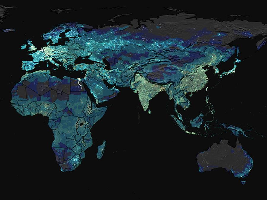
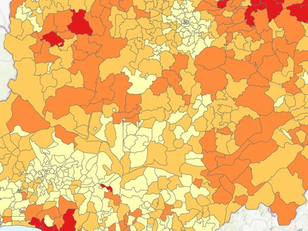
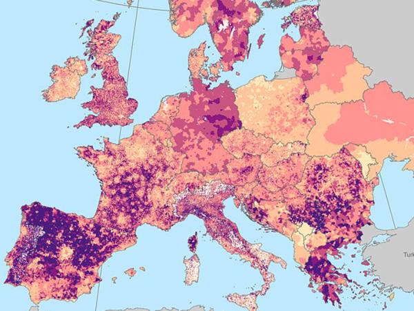
For GPWv4, population input data are collected at the most detailed spatial resolution available from the results of the 2010 round of Population and Housing Censuses, which occurred between 2005 and 2014. The input data are extrapolated to produce population estimates for the years 2000, 2005, 2010, 2015, and 2020. A set of estimates adjusted to national level, historic and future, population predictions from the United Nation's World Population Prospects report are also produced for the same set of years. The raster data sets are constructed from national or subnational input administrative units to which the estimates have been matched. GPWv4 is gridded with an output resolution of 30 arc-seconds (approximately 1 km at the equator).
The nine data sets of the current release are collectively referred to as the Revision 11 (or v4.11) data sets. In this release, several issues identified in the 4.10 release of December 2017 have been corrected as follows:
- The extent of the final gridded data has been updated to a full global extent.
- Erroneous no data pixels in all of the gridded data were recoded as 0 in cases where census reported known 0 values.
- The netCDF files were updated to include the Mean Administrative Unit Area layer, the Land Area and Water Area layers, and two layers indicating the administrative level(s) of the demographic characteristics input data.
- The National Identifier Grid was reprocessed to remove artifacts from inland water. In addition, two attributes were added to indicate the administrative levels of the demographic characteristics input data, and the data set zip files were corrected to include the National Identifier Polygons shapefile.
- Two new classes (Total Land Pixels and Ocean Pixels) were added to the Water Mask.
- The administrative level names of the Greece Administrative Unit Center Points were translated to English.


