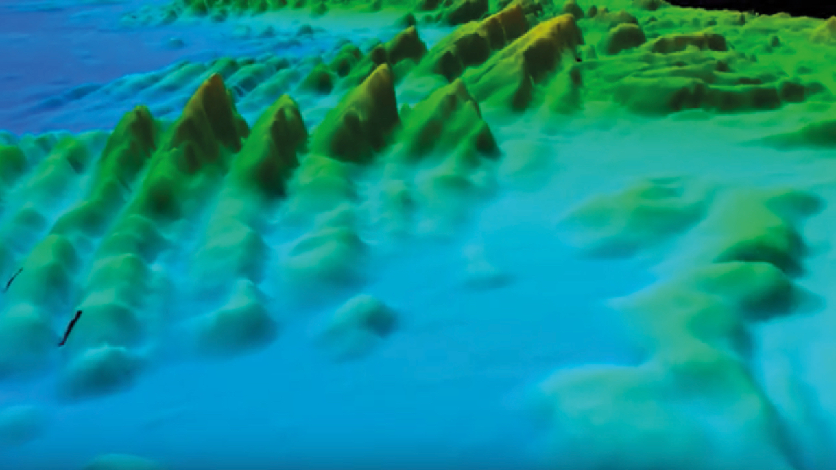
• Manchester Merchant

    Stunning Data Quality

  • Wave

    Our Passion For The Sea

    Creating the knowledge to unlock our ocean wealth; for environmental protection, economic growth & safer seas
  • Sandwaves

    Mapping Our Seabed

    Exploring our underwater resources: from fish spawning habitats to foundations for ocean energy
  • RMS Lusitania

    Revealing Our Sunken Treasures

    Discovering our maritime heritage from the Spanish Armada to Ocean Liners
  •  Webinar image

    Check out our new Info-video Series

    How to Guide to download our Data
  • Bluescale Carousel

    Our Coastline in Higher Detail

    View our Bluescale Map series gallery
video overlay image
Mapping the Irish Seabed

What is INFOMAR?

Did you know that Ireland’s marine territory is 10 times greater than the land? To fully benefit from this vast resource, INFOMAR will reveal its secrets and unlock its potential by mapping the physical, chemical and biological features of Ireland’s seabed. This is critical for the sustainable development of our valuable coastal and offshore waters. Welcome to our world.

Explore our sea

Select a map type below:
  • Data
  • Charts
  • Shipwrecks
  • Research