Location via proxy:   [ UP ]  
[Report a bug]   [Manage cookies]                

Scientific Research Laboratory of Soil Erosion and Riverbed Processes named after N.I. Makkaveev
Authorization required.
Lab team

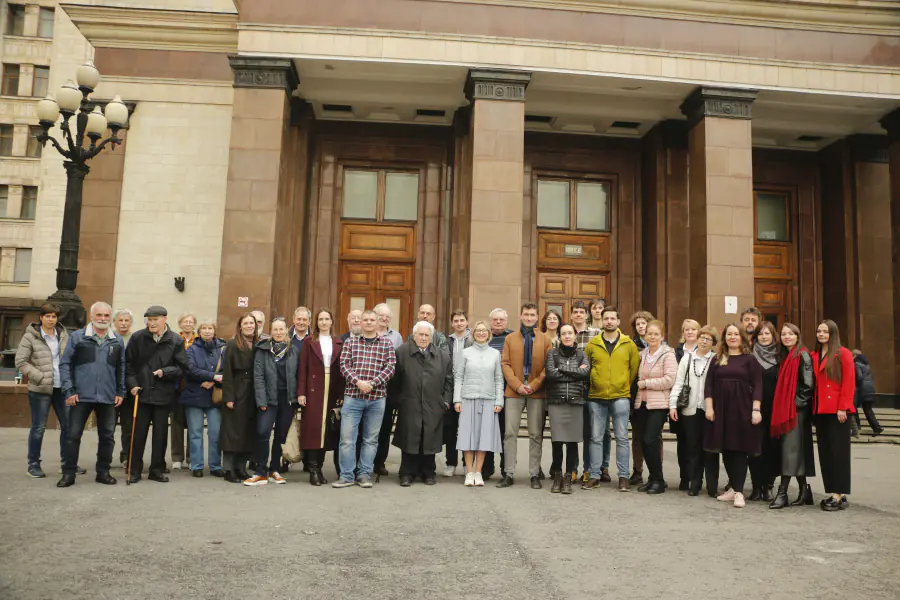
NIL EPiRP is the largest research team in Russia engaged in the study of erosion–channel systems - landforms and the processes that create them due to the work of water flows. As a structural unit of the Geographical Faculty of Moscow University, the Laboratory began functioning on September 1, 1969. In 1998, in connection with the 90th anniversary of the birth of the founder and first head of the laboratory, N.I. Makkaveev (1908 - 1983), by the decision of the Academic Council of Moscow State University, she was named after him, and since then the laboratory has been named as the Scientific Research Laboratory of Soil Erosion and Riverbed Processes named after N.I. Makkaveev. The main activities of the laboratory are:

• theoretical and experimental (field and laboratory) studies of the mechanism of erosion, riverbed and estuarine processes in various natural conditions;

• development of methods for physical, mathematical and computer modeling of soil erosion, gully erosion and riverbed processes;

• assessment of the ecological state of erosion-channel and estuarine systems and justification of measures to combat soil erosion, gully erosion and methods of regulating riverbeds and marine estuaries.

Today, the laboratory is a team of 50 people. Of these, 6 people are doctors of geographical sciences, 27 are candidates of geographical and biological sciences. Over 35% of the team consists of young scientists under the age of 39.Telegram channel of the Laboratory: https://t.me/MakkaveevLab

  1. Remote turbidity monitoring methods
  2. Acoustic methods for studying water turbidity
  3. Monitoring of riverbed processes: field studies and stationary observations
  4. Semi-automated methods for determining horizontal channel deformations
  5. Sediment balance method
  6. Mathematical and physical modeling
  7. A multi-model approach
  8. Experimental research methods
  9. Soil-morphological method
  10. Radiocesium, tracer method, chronomarker method (cesium-137 of global and Chernobyl origin)
  11. Geomorphological mapping
  12. The method of "fingerprinting" (fingerprinting technique)
Sergey Chalov 🥼 🤝
Head of Laboratory
Valentin Golosov
Leading researcher
Vsevolod Moreido 🥼 🤝
Senior Researcher
Dmitriy Botavin
Senior Researcher
Anatolii Tsyplenkov 🥼 🤝
Senior Researcher
Valeriy Bondarev 🥼 🤝
Senior Researcher
Ivanov, Maxim M
Maxim Ivanov
Senior Researcher
Shamshurina, Evgeniya Nikolaevna
Evgeniya Shamshurina 🥼 🤝
Researcher
Evgeniya Fingert
Engineer of 1 category
Danila Shkolniy 🤝
Researcher
Georgiy Golubtsov 🤝
Engineer of 1 category
Anna Kurakova 🤝
Junior researcher
Ekaterina Promakhova 🤝
Junior researcher
Victor Ivanov 🤝
PhD student
Kristina Prokopeva 🤝 🔍
Student

Research directions

Modeling

+
Modeling
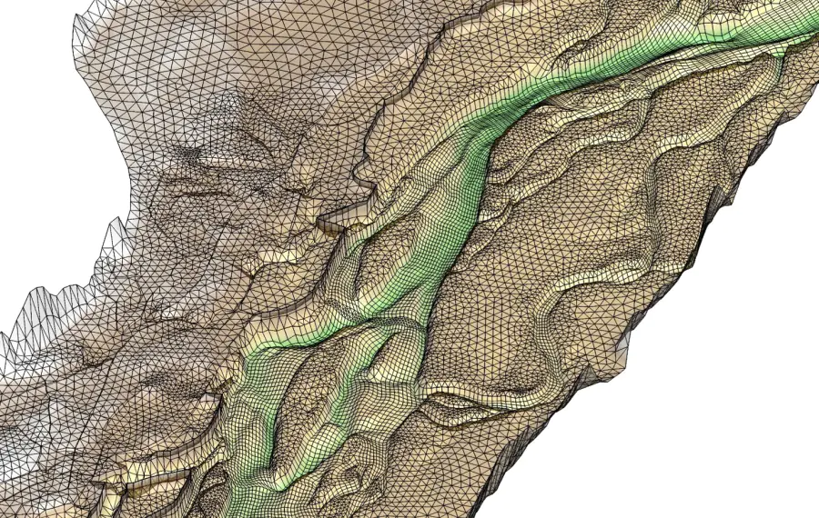
Within the framework of the direction, hydrodynamic modeling of the movement of water flow, channel deformations, sediment transport is carried out under modern conditions and taking into account anthropogenic changes in riverbeds and floodplains, ice phenomena (including ice jams), floodplain flooding. A separate unit is working on numerical modeling of soil erosion and sediment runoff. Physical experiments are carried out in laboratory conditions in a hydrofloat and on a jet installation to assess the intensity of erosion and erodibility of arable horizons. Estimates of paleoreal runoff based on morphometry of paleorousels are also being carried out, studies of water, riverbed regime and sediment runoff under climate change in the 21st century are being conducted.

Study of river sediments

+
Study of river sediments
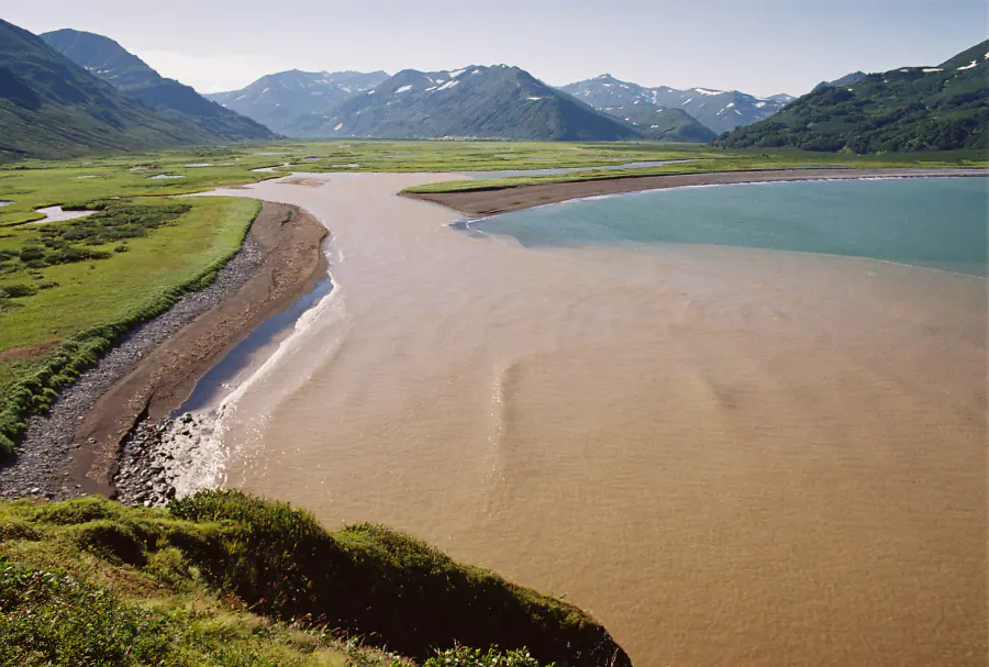
Within the framework of this direction, the fundamental foundations of the study of river sediments, their hydrological, geochemical and environmental properties are being developed. Various numerical, experimental and monitoring approaches to determining turbidity of water and sediment runoff are being developed. The scientific substantiation of full-scale and remote studies of suspended sediment transport using modern technologies (the use of remote sensing data, portable turbidity meters and Doppler meters) has been carried out. The theory and methods of studying the dynamics of bottom relief, entrained sediments, and geographical patterns of the evolution of rifts are being developed. Recent achievements include global estimates of sediment runoff and sediment balance of the largest river basins of the Russian Federation, a database on river bank washouts of different sizes, definitions of basin and channel components of rivers of different sizes flowing in different natural conditions. The theoretical and methodological foundations for studying the geochemical features of the transport of suspended and entrained sediments have been developed.

Investigation of riverbed processes

+
Investigation of riverbed processes
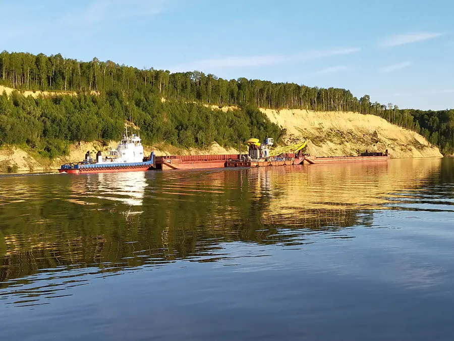
Within the framework of the direction, research is being conducted on hydrological and riverbed processes occurring in permanent watercourses – from small to large and largest rivers, formed in various natural conditions and under various forms of anthropogenic impact on the riverbed and catchment basins. Development of methods for forecasting riverbed processes in conditions of diverse economic development of riverine territories and catchment areas, hydroclimatic and other natural and natural-anthropogenic changes. Development of models for the development of channels and floodplains of lowland rivers of the humid belt of temperate latitudes, starting from the pre-anthropogenic period to the modern morphodynamics of channels and floodplains. Development of methods for morphological and hydrological monitoring of the forms of manifestation of riverbed processes based on field studies and analysis of remote sensing data. The study of the history of development, modern dynamics and further evolution of floodplain-channel complexes of Russian rivers, the degree of their resistance to diverse and multi-scale anthropogenic transformations. Scientific substantiation of methods of management of river processes in solving water management, hydraulic engineering and transport problems. Scientific support of design solutions in the design of hydraulic engineering facilities.

Study of basin erosion and small rivers
+
Study of basin erosion and small rivers
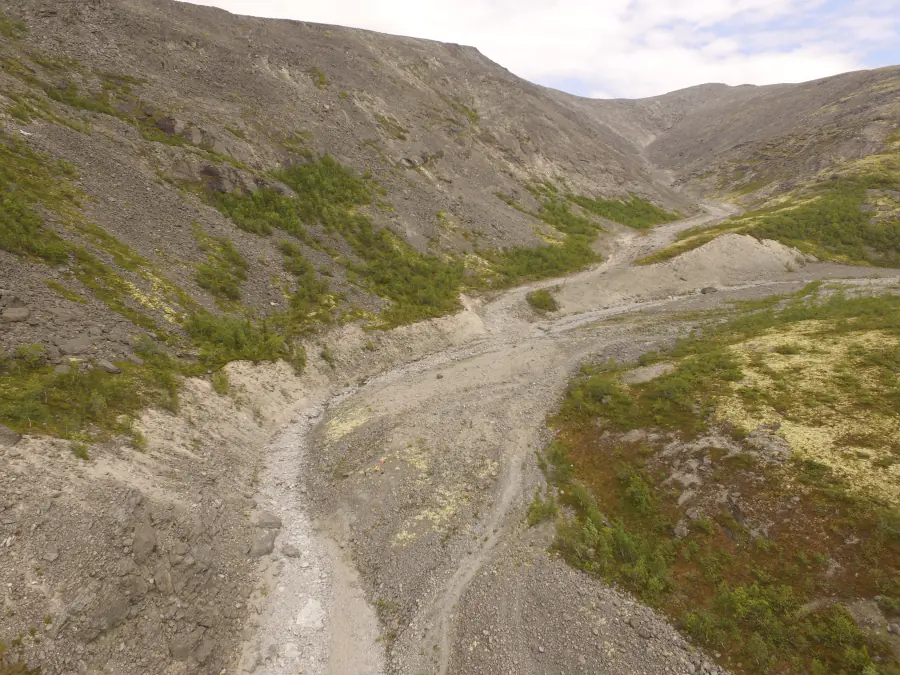
Within the framework of this direction, the reconstruction of basin erosion over various time intervals (Holocene, historical period, Anthropocene) is carried out in order to identify spatiotemporal changes in the rates of erosion and accumulative processes in various parts of the fluvial network and the inflow of sediments and pollutants transported together with them into reservoirs and permanent watercourses. Quantitative estimates of the current dynamics of erosion-accumulative processes on the slopes, in the ravine-girder network and on the bottoms of small river valleys occurring against the background of climatic changes in recent decades and their forecast are given. The research focuses on identifying the contribution of anthropogenic activities to the redistribution of sediments within small catchments, as well as balance assessments of sediment flows and pollutants transported together with them for catchments of various sizes from the slope to the basin of a small river.

Publications and patents

Сергей Романович Чалов, Галина Леонидовна Шинкарева, Андрей Юрьевич Тришин, Маргарита Сергеевна Пашкина
RU201927U1, 2021
Геннадий Александрович Ларионов, Владимир Михайлович Гендугов, Сергей Федорович Краснов, Людмила Вячеславовна Кобыльченко
RU2600694C1, 2016
Николай Иванович Алексеевский, Екатерина Васильевна Белозёрова, Сергей Романович Чалов
RU127471U1, 2013
Николай Иванович Алексеевский, Екатерина Васильевна Белозёрова, Сергей Романович Чалов
RU120776U1, 2012

Lab address

119991, Москва, Ленинские горы, МГУ, д. 1, сектор Ж
Authorization required.