Tal Saki: Difference between revisions
Appearance
Content deleted Content added
stub sort |
standard pushpin Tag: Reverted |
||
| Line 13: | Line 13: | ||
| location= [[Golan Heights]] |
| location= [[Golan Heights]] |
||
| range = |
| range = |
||
| map = |
| map = Syria Golan |
||
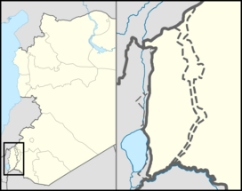
| map_caption = Tal Saki |
| map_caption = Tal Saki |
||
| label_position = right |
| label_position = right |
||
Revision as of 17:12, 15 October 2021
| Tal El-Saki | |
|---|---|
| Arabic: Tal Al-Saki Hebrew: Tel Saki | |
 Tal El-Saki | |
| Highest point | |
| Elevation | 594 m (1,949 ft) |
| Coordinates | 32°51′59″N 35°49′50″E / 32.86639°N 35.83056°E |
| Geography | |
| Location | Golan Heights |
| Geology | |
| Mountain type | Volcano |
Tel Saki (Template:Lang-ar / ALA-LC: Tal Al-Saki; Template:Lang-he) is a dormant volcanic hill in the southeastern part of the Golan Heights. It extends to an elevation of 594 meters above sea level.
The hill is a part of a chain of dormant volcanic mountains spanning along the eastern part of the Golan Heights starting from Mount Ram in the north and ending on Tal Saki in the South.


