Capton
Appearance

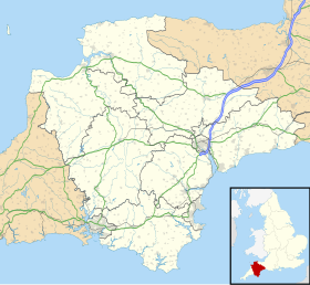
Location of Capton within Devon
Capton is a village near Dartmouth in Devon, England.[1]
On a hilltop to the east of the village is an Iron Age enclosure or hill fort approximately 185 m (607 ft) above sea level.50°22′03″N 3°37′43″W / 50.3675°N 3.6287°W[2]
References
[edit]- ^ Torbay and South Dartmoor (Landranger Map 202) (D ed.), Ordnance Survey, 2003, ISBN 978-0-319-22805-0
- ^ Sellman, R.R. (1985). "The Iron Age in Devon (ch.2)". Aspects of Devon History. Exeter: Devon Books. pp. 11 (Map of Iron Age hill forts in Devon including Capston). ISBN 0-86114-756-1.
50°22′01″N 3°38′11″W / 50.3669°N 3.6365°W

