Firrhill
Appearance

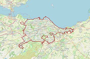
Firrhill is a suburb of Edinburgh, the capital of Scotland. It is south of Merchants of Edinburgh Golf Club and lies next to Oxgangs.
The area is mostly made up of public housing which was built by the Corporation Housing Department in the mid-1950s, however most of the council properties have now been bought by tenants using the right to buy scheme although a fairly large number of these are rented out privately by individual landlords.[citation needed]
Firrhill High School lies in the area.

