Shaikh Bhirkio
Appearance
(Redirected from Sheikh Bhirkhio)
Shaikh Bhirkio | |
|---|---|
Village | |
| Coordinates: 25°15′36″N 68°39′37″E / 25.26006°N 68.660352°E[1] | |
| Country | Pakistan |
| Region | Sindh |
| District | Tando Muhammad Khan |
| Population (2017)[2] | |
| • Total | 7,539 |
| Time zone | UTC+5 (PST) |
| • Summer (DST) | UTC+6 (PDT) |
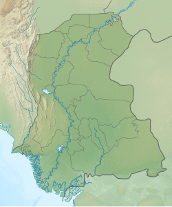
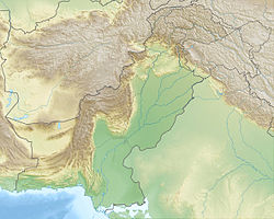
Shaikh Bhirkio is a village, deh[3] and union council[4] in Tando Muhammad Khan taluka of Tando Muhammad Khan District, Sindh.[3] As of 2017, it has a population of 7,539, in 1,593 households.[2] It is the seat of a tapedar circle, which also includes the villages of Burera, Chando Katiar, and Samabani.[2]
References
[edit]- ^ "GeoNames Search". geonames.nga.mil. Archived from the original on 12 April 2014. Retrieved 21 June 2023.
- ^ a b c Population and household detail from block to tehsil level (Tando Muhammad Khan District) (PDF). 2017. p. 21. Retrieved 4 May 2021.
- ^ a b "List of Dehs in Sindh" (PDF). Sindh Zameen. Retrieved 4 May 2021.
- ^ "Union Council wise Thematic Analysis". Department of Health, Government of Sindh. Retrieved 24 May 2021.


