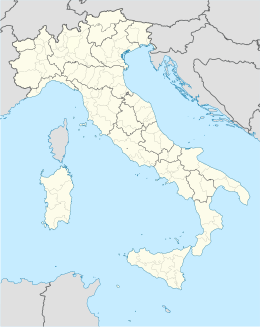
Pompu
Aspetto
| Pompu comune tagliàne | ||
|---|---|---|
| ||
| State | ||
| Reggione | ||
| Provinge | Oristano | |
| Coordinate | 39°44′00″N 8°48′00″E | |
| Altitudine | 147 m s.l.m. | |
| Superficie | 5,13 km² | |
| Crestiàne | 294 (31-10-2007 ( ISTAT )) | |
| Denzetà | 57,3 cr./km² | |
| Comune 'nzeccate | Curcuris, Masullas, Morgongiori, Simala, Siris | |
| CAP | 09095 | |
| Prefisse | 0783 | |
| Codece ISTAT | 095042 | |
| Cod. catastale | G817 | |
| Nome javetande | pompesi | |
| Site istituzionale | ||
Pompu éte 'nu comune tagliáne de 303 crestiáne.
Categorije:
- Pagine con argomenti di formatnum non numerici
- Stub
- Prefisso telefonico locale uguale a Wikidata
- Codice ISTAT uguale a Wikidata
- P94 assende sus Uicchidate
- P281 uguale sus Uicchidate
- P806 uguale sus Uicchidate
- P856 uguale sus Uicchidate
- P2044 uguale sus Uicchidate
- P2046 differende sus Uicchidate
- Comune d'a Sardegna
- Comune d'a provinge de Oristano
- Pàggene cu le mappe

