


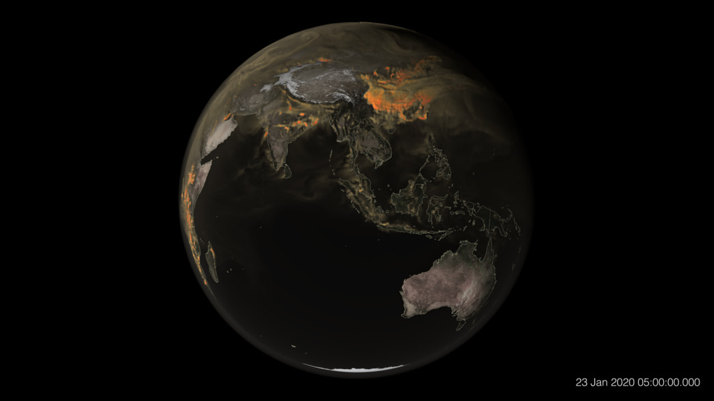


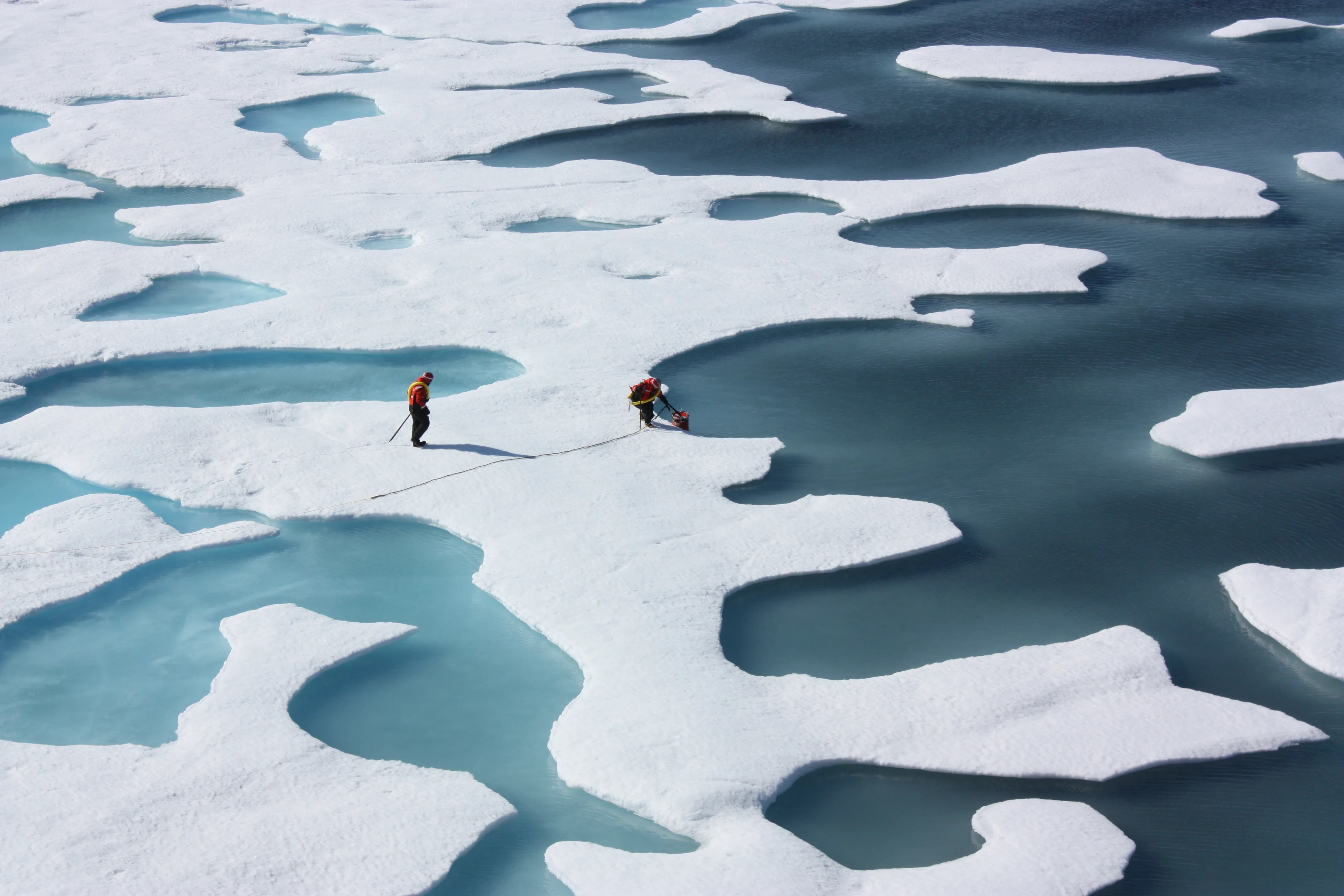
Landsat IMAGES
Olympics From AboveTECHNOLOGY FOR ATHLETES
Space Age SwimsuitBenefits for Humanity
Your Orbiting Laboratory
MISSION UPDATES
NASA BlogMISSION OVERVIEW
Flight Test ObjectivesMISSION CREW
Life on the Space Station
Featured News


NASA’s DART Mission Sheds New Light on Target Binary Asteroid System

NASA Data Shows July 22 Was Earth’s Hottest Day on Record

NASA, JAXA Bounce Laser Beam Between Moon’s Surface and Lunar Orbit

Earth to Gateway: Electric Field Tests Enhance Lunar Communication
The Universe at Your Fingertips
As part of its ongoing web and television modernization efforts, NASA is shifting its digital focus to its on-demand streaming service, NASA+. The transition from cable TV to streaming is part of a larger effort to ensure the agency’s content is more accessible, discoverable, and secure for the public.
Learn More


Earth Information Center
For more than 50 years, NASA satellites have provided data on Earth's land, water, air, temperature, and climate. NASA's Earth Information Center allows visitors to see how our planet is changing in six key areas: sea level rise and coastal impacts, health and air quality, wildfires, greenhouse gases, sustainable energy, and agriculture.
Start Exploring about Earth Information Center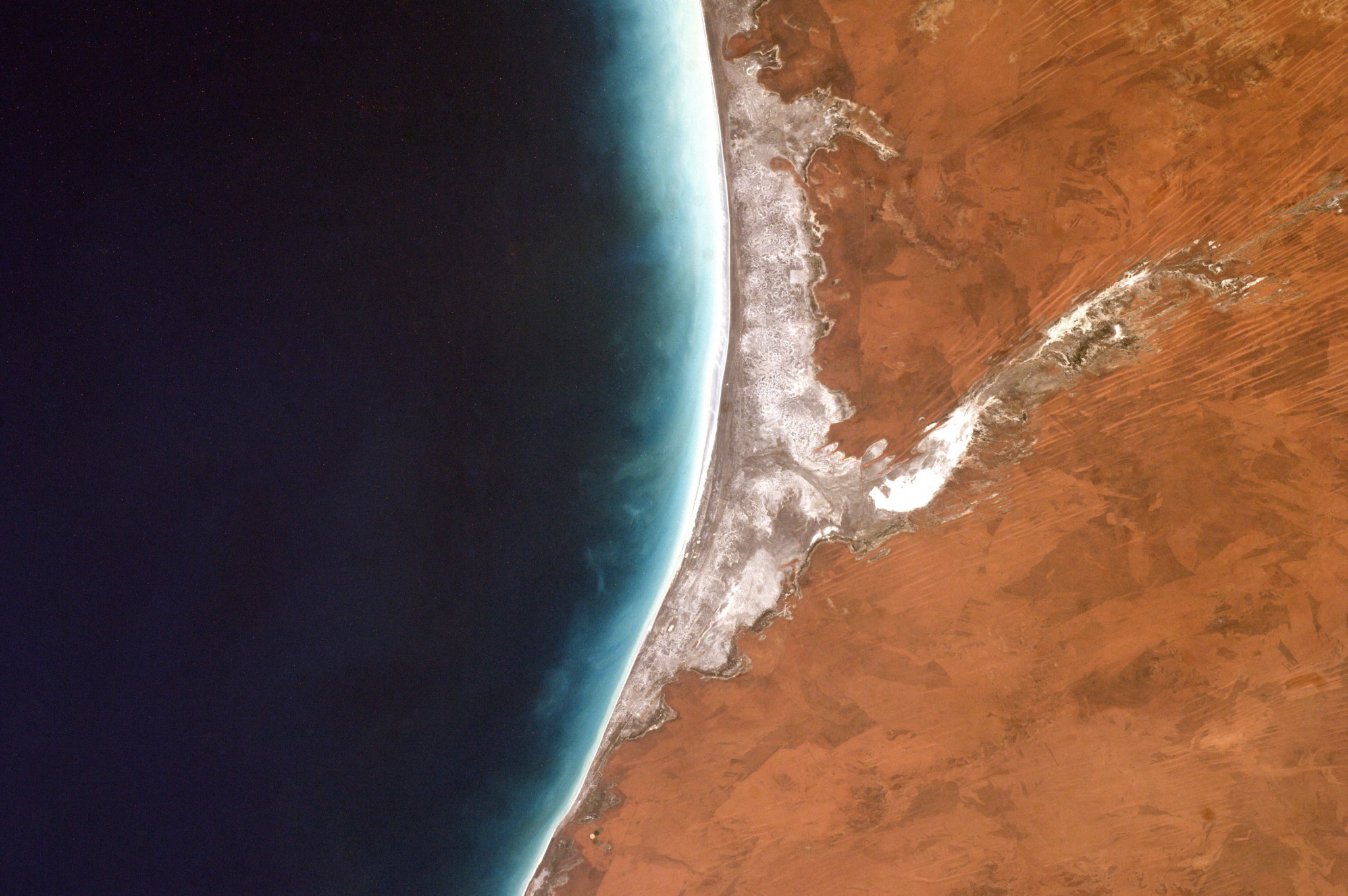
Today
Image Of The Day
Telfer Mine, Western Australia
In the arid outback of Western Australia, miners have excavated rust-colored soil to reach the precious minerals below. The open pits and ponds of Telfer mine can be seen in this image, captured by the OLI-2 (Operational Land Imager-2) on Landsat 9.

More NASA Images


Explore the Universe from your Inbox
Stay up-to-date on the latest news from NASA–from Earth to the Moon, the Solar System and beyond.
We will never share your email address.


