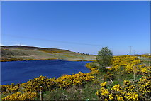
Geo-Trips :: Strath Halladale to the sea at Melvich Bay
Strath Halladale
A walk from Trantlemore, Thu, 16 May 2019 by Tim Heaton
Leaving the John o' Groats Trail at Lothbeg, a walk north along Glen Loth joins Strath of Kildonan, which may be followed north through Strath Halladale to the sea. Much of the route is on quiet, single track roads and, whilst it does not go to John o' Groats, it provides a quick route to Scotland's beautiful north coast.
This last section along Strath Halladale to Melvich Bay formed the final day of our 20 year project to walk all the way from the south coast of England to the north coast of Scotland.
Click the blue circles to see a photograph taken from that spot and read further information about the location. The blue lines indicate the direction of view. There is also a slideshow of this trip. ( )
↓ Scroll down here ↓
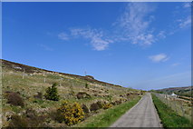
Unnamed road passed Trantlemore
A narrow road on the west bank of Halladale River (the A897 being on the east side)
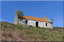
Deserted croft overlooking Halladale River
One of three similar buildings. Two chimneys/fireplaces seem to have been a common... more
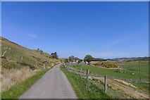
Upper Bighouse
The minor road on the west side of Halladale River ends at the farm in the... more
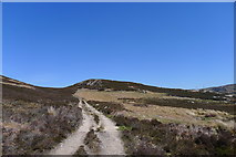
Am Bealach (= "the pass")
Track along the west bank of Halladale River, rounding the flank of Meall Mor a'... more
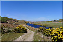
Following the Halladale River towards Melvich Bay

Track to Craggie Cottage
The track bridges Halladale River to the cottage, and then follows Craggie Burn up... more

Looking across the Halladale River to Trantlemore Cemetery

The road to Trantlemore
An opportunity for us to finally leave the A897, cross the Halladale River, and... more

Passing through Trantlemore
Trantlemore is described as a small linear crofting community in Strath Halladale.... more

Nhare, Strath Halladale
Web searches show 'Nhare' as a Shona word meaning 'shelter'.

Gorse and rowan on a minor road along Strath Halladale
The road serves scattered dwellings along the left bank of Halladale River, and... more

The road to Upper Bighouse
Running above the left bank of the Halladale River

End of the road at Upper Bighouse
The minor road along the left bank of the River Halladale ends here. But a... more

The track north from Upper Bighouse
Following the left bank of the River Halladale north from Upper Bighouse

Halladale River in the northern part of Strath Halladale
From the path leading north from Upper Bighouse

The sea from Meall Mor a' Bealaich; the northern end of Strath Halladale
A magnificent view down the northern end of Strath Halladale to the sea at Melvich... more

Approaching Kirkton Cemetery from the track and paths from Upper Bighouse

17th century tablet with coat of arms, Kirkton Cemetery
Date 163? Whose arms are these?

Kirkton Gravel Pit
Sand and gravel formed as river terrace deposits up to 3 million years ago (iGeology app)
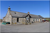
The Halladale Inn, Melvich
Close to the River Halladale's mouth at Melvich Bay

Track down to the car park at Melvich Bay

The Halladale River reaching the sea at Bighouse
Bighouse Lodge across the river was "built in 1765 and a former home of the... more

Melvich Bay; a long journey's end
Finally reaching the north coast, and finishing a walking project of over twenty... more

Melvich Bay
A beautiful, almost deserted expanse of clean sand. The headland of Rubha an Tuir... more
All images © Tim Heaton and available under a
Creative Commons licence  .
.


