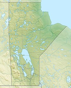
The Gods River is a remote wilderness river in the Hudson Bay drainage basin in Northern Manitoba, Canada. Its flows from its source at Gods Lake to its mouth at the Hayes River.[1][2] The Hayes River flows to Hudson Bay.
| Gods River | |
|---|---|
| Native name | Mantō-sīpiy (Cree) |
| Location | |
| Country | Canada |
| Province | Manitoba |
| Region | Northern |
| Physical characteristics | |
| Source | Gods Lake |
| • coordinates | 54°50′28″N 94°05′42″W / 54.84111°N 94.09500°W[2] |
| • elevation | 178 m (584 ft)[3] |
| Mouth | Hayes River |
• coordinates | 56°22′20″N 92°50′55″W / 56.37222°N 92.84861°W[1] |
• elevation | 25 m (82 ft)[4] |
| Basin features | |
| River system | Hudson Bay drainage basin |
| Tributaries | |
| • left | Yakaw River |
| • right |
|
| Inland ports | |
The First Nations communities of Gods River (Manto Sipi Cree Nation) and Shamattawa are located at the river's source and at the confluence with the Echoing River respectively.
Tributaries
edit- Yakaw River (left)
- Echoing River (right)
- Red Sucker River (right)
- Stull River
- White Goose River
See also
editReferences
edit- ^ a b "Gods River". Geographical Names Data Base. Natural Resources Canada. Retrieved 1 March 2011.
- ^ a b "Toporama (on-line map and search)". Atlas of Canada. Natural Resources Canada. 12 September 2016. Retrieved 4 November 2020.
- ^ "Manitoba – Lake Areas and Elevation (lakes larger than 400 square kilometres)". The Atlas of Canada – Lakes. Natural Resources Canada. June 24, 2008. Archived from the original on November 8, 2008. Retrieved 2008-11-24.
- ^ "Google Earth". Retrieved 4 November 2020.

