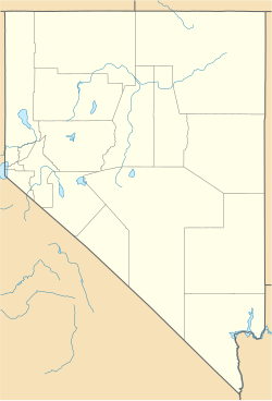
Boyer, Nevada
Appearance
Boyer, Nevada | |
|---|---|
| Coordinates: 39°57′30″N 117°52′03″W / 39.95833°N 117.86750°W[1] | |
| Country | United States |
| State | Nevada |
| County | Churchill |
| Elevation | 3,507 ft (1,069 m) |
| GNIS feature ID | 0855235[1] |
Boyer is a ghost town in northeastern Churchill County, in the U.S. state of Nevada.
History
[edit]A post office was established at Boyer in 1896, and remained in operation until 1914.[2][3] The community was named after Alva Boyer, a prospector[4] and postmaster.[5]
References
[edit]- ^ a b c U.S. Geological Survey Geographic Names Information System: Boyer, Nevada
- ^ U.S. Geological Survey Geographic Names Information System: Boyer Post Office (historical)
- ^ "Post Offices". Jim Forte Postal History. Retrieved April 9, 2018.
- ^ Federal Writers' Project (1941). Origin of Place Names: Nevada (PDF). W.P.A. p. 9.
- ^ Hasch, Vera E.; Cleator, Cora M.; Bray, Florence L. (1911–1912). "The Significance of the Nomenclature in Churchill, Douglas, Lyon, Ormsby and Storey Counties". Third Biennal Report of the Nevada Historical Society (Report). Retrieved May 16, 2020.


