Scandia, Alberta
Appearance
Scandia, Alberta | |
|---|---|
 Last remaining prairie grain elevator in the Scandia district. | |
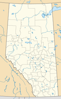
Location of Scandia Alberta | |
| Country | |
| Province | |
| Region | Southern Alberta |
| Census division | 2 |
| Municipal district | County of Newell No. 4 |
| Government | |
| • Governing body | County of Newell No. 4 Council |
| Population (2006) | |
• Total | 119 |
| Time zone | UTC-7 (MST) |
| Postal code span | |
| Area code | +1-403 |
| Highways | Highway 36 |
| Historic Sites | [[ ]] |
Scandia is a hamlet in Alberta, Canada within the County of Newell No. 4.[1] It is located 2 kilometres (1.2 mi) west of Highway 36, approximately 34 kilometres (21 mi) southwest of Brooks.
Local attractions
See also
- List of museums in Alberta
- List of provincial historic sites of Alberta
- List of communities in Alberta
- Hamlets of Alberta
References
- ^ Alberta Municipal Affairs (2010-04-01). "Specialized and Rural Municipalities and Their Communities" (PDF). Retrieved 2010-07-03.
- ^ Scandia Eastern Irrigation District Museum.

