Aglal
Appearance
Aglal | |
|---|---|
Village | |
| Coordinates: 16°37′4″N 2°40′56″W / 16.61778°N 2.68222°W[1] | |
| Country | |
| Region | Tombouctou Region |
| Cercle | Timbuktu Cercle |
| Commune | Lafia |
| Time zone | UTC+0 (GMT) |
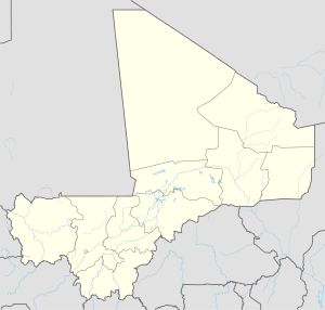
Aglal is a village and seat of the commune of Lafia in the Cercle of Timbuktu in the Tombouctou Region of Mali.[2]
References
[edit]- ^ Common and Fundamental Operational Datasets Registry: Mali, United Nations Office for the Coordination of Humanitarian Affairs, archived from the original on 2012-12-14. See cheflieu_mali.zip
- ^ "Previsions de desserte des communes pour la periode de 2001-2005" (PDF). Mali Reforme Telecom. Archived from the original (PDF) on August 29, 2004. Retrieved February 28, 2009.


