Aich (river)
Appearance
| Aich | |
|---|---|
 The river flowing through Aichtal | |
| Location | |
| Country | Germany |
| State | Baden-Württemberg |
| Physical characteristics | |
| Source | |
| • location | Holzgerlingen |
| Mouth | |
• location | Neckar in Nürtingen |
• coordinates | 48°39′N 9°20′E / 48.65°N 9.33°E |
• elevation | 268 metres (879 ft) above sea level |
| Length | 30.5 km (19.0 mi) [1] |
| Basin size | 179 km2 (69 sq mi) [1] |
| Basin features | |
| Progression | Neckar→ Rhine→ North Sea |
| Tributaries | |
| • right | Schaich |
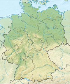
The Aich is a river in Baden-Württemberg, Germany. It is approximately 30.5 kilometres (19.0 mi) long.[1] It is a left tributary of the Neckar in Nürtingen.
Geography
[edit]
The Aich's origin is in Holzgerlingen. It flows to the north through Neuweiler and then south past Schönaich and Waldenbuch. It then flows through the Schönbuch nature park before passing through Betzenberg. After that, it flows through Aichtal before finally passing through Oberensingen and into the Neckar. The river is home to some species of white fish.
Tributaries
[edit]- Eschelbach (right), 2,2 km, 1,8 km2
- Aischbach (right), 3,1 km, 2,8 km2
- Keckbach (right), 1,6 km, 1,9 km2
- Krähenbach (left), 4,8 km, 8,1 km2
- Kohlklingenbach (right), 0,4 km
- Seebach (left), 2,1 km, 1,9 km2
- Losklinge (left), 1,6 km
- Seebach (left), 6,9 km, 14,8 km2
- Laubbach (right), 1,6 km
- Faulbach (right), 3,0 km
- Erbeerbühl(bach) (left), 1,4 km
- Groppbach (left), 1,7 km
- Seitenbach (right), 9,4 km
- Immenbach (right), 2,97 km
- Brunnenbach (right), 1,7 km
- Diebsklinge (right), 1,6 km
- Stellenbrunnen (right), 0,95 km
- Reichenbach (left), 13,3 km
- Schaich (right), 23,6 km
- Baumbach (left), 7,5 km
- Baiersbach (right), 2,07 km
- Finsterbach (left), 2,3 km
- Weiherbach (left), 4,4 km
- Follbach (left'), 3,5 km
- Teufelsklinge (left), 0,7 km
See also
[edit]References
[edit]

