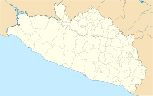
Apango
Appearance
This article needs additional citations for verification. (March 2009) |
Apango | |
|---|---|
| Coordinates: 17°44′29″N 99°19′41″W / 17.74139°N 99.32806°W | |
| Country | |
| State | Guerrero |
| Municipality | Mártir de Cuilapán |
| Elevation | 403 ft (1,220 m) |
| Population (2005) | |
| • Total | 3 981 |
| Time zone | UTC-6 (Zona Centro) |
Apango (the municipal seat of Mártir de Cuilapán)[1] is a town located in the Mexican state of Guerrero,[2] approximately 35 km away from the state capital Chilpancingo. Nearby, a ruined temple which is the sole evidence of the Coixcas can be found.
Demography
[edit]The Population and Housing count carried out in 2005 by the National Institute of Statistics, Geography and Data Processing indicated that the town had 3987 inhabitants - 1870 male and 2111 female.
References
[edit]- ^ "Municipio de Mártir de Cuilapan". Enciclopedia Guerrerense. Retrieved 10 August 2024.
- ^ https://www.google.com/maps/place//@17.741389,-99.328056,12z/data=!4m2!3m1!1s0x0:0x0!5m1!1e4?hl=en [bare URL]
Walking in honor of the Virgin of Guadalupe


