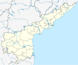
Aragonda
Appearance
Aragonda | |
|---|---|
 Dynamic map | |
| Coordinates: 13°16′53″N 78°57′23″E / 13.2813°N 78.9564°E | |
| Country | India |
| State | Andhra Pradesh |
| District | Chittoor |
| Population (2011) | |
| • Total | 5,392 |
| Languages | |
| • Official | Telugu |
| Time zone | UTC+5:30 (IST) |
| PIN | 517129 |
| Telephone code | 8573 |
| Vehicle registration | AP 03 |
Aragonda is a village in Thavanampalle Mandal in Chittoor District of Andhra Pradesh State, India.
Etymology
[edit]A myth which states – Lord Hanuman was transporting Sanjeevani (herbs for life) mountain, half of the mountain fell at this village. In the local language Ardha means half and Giri means mountain. Hence, the name Ardhagiri.[1]
References
[edit]Wikivoyage has a travel guide for Aragonda.
- ^ Nair, Shantha (2014). Sri Venkateshwara. Jaico Publishing House. ISBN 978-81-8495-445-6. Retrieved 5 November 2014.


