Cefn-y-bedd
Appearance
| Cefn-y-bedd | |
|---|---|
 The Hollybush public house, Cefn-y-Bedd | |
Location within Flintshire | |
| OS grid reference | SJ310563 |
| Principal area | |
| Preserved county | |
| Country | Wales |
| Sovereign state | United Kingdom |
| Post town | WREXHAM |
| Postcode district | LL12 |
| Dialling code | 01978 |
| Police | North Wales |
| Fire | North Wales |
| Ambulance | Welsh |
| UK Parliament | |
| Senedd Cymru – Welsh Parliament | |
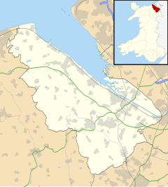
Cefn-y-bedd (ⓘ) is a village in Flintshire, north-east Wales.
The name translates into English as "the ridge of the grave", in reference to an old tumulus which a local tale said was the burial place of Gwrle Gawr, the legendary figure after whom Caergwrle was said to be named.[1][2]
Cefn-y-bedd is on the A541 road to the south of its junction with the A550 road at Abermorddu. The village is served by Cefn-y-Bedd railway station on the Borderlands Line, linking Wrexham and Bidston on the Wirral Peninsula.
It is in the community of Llanfynydd, Flintshire.
Wikimedia Commons has media related to Cefn-y-bedd.
References
[edit]


