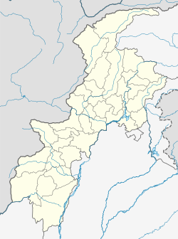
Chumurkone
Appearance
This article needs additional citations for verification. (March 2018) |
Chumurkone
Chomorkhon | |
|---|---|
Town | |
| Chumurkone | |
 View of the village | |
| Nickname: Chumren Khon | |
| Anthem: Anthem Of Pakistan | |
| Coordinates: 35°47′37.9″N 71°46′51.0″E / 35.793861°N 71.780833°E | |
| Country | Pakistan |
| Province | Khyber Pakhtunkhwa |
| District | Lower Chitral District |
| Founded by | Kalash Tribal Leader |
| Named for | Iron Rod |
| Government | |
| • Type | Elected Government |
| • Body | PTI |
| Dimensions | |
| • Length | 5 km (3 mi) |
| • Width | 3 km (2 mi) |
| Time zone | PST+5 |
| Website | www |
Chumurkone is a village in the Lower Chitral District of Pakistan. The population consists of more than 1500 houses, and it is located 13 km (8.1 mi) south of Chitral city.
History
[edit]The history of Chumurkone goes back 2000 years in history when Chinese ruled this place.[1]
Schools
[edit]- Govt High School Chumurkone[2][3]
- Hira Model High School Chumurkone[4]
- Eastern Model School Chumurkone
References
[edit]


