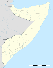
Dusmareb Airport
Appearance
Ugaas Noor Airport Gegada Diyaaradaha Dhuusamareeb | |||||||||||
|---|---|---|---|---|---|---|---|---|---|---|---|
| Summary | |||||||||||
| Airport type | Public | ||||||||||
| Serves | Dusmareb | ||||||||||
| Elevation AMSL | 840 ft / 256 m | ||||||||||
| Coordinates | 5°28′15″N 46°21′35″E / 5.47083°N 46.35972°E | ||||||||||
| Map | |||||||||||
 | |||||||||||
| Runways | |||||||||||
| |||||||||||
Source: Google Maps[1] | |||||||||||
Dusmareb Airport also known as Ugaas Noor Airport or Ugaas Nuur Airport is an airport serving Dusmareb, the capital city of Galmudug state and the central Galguduud region of Somalia.
See also
[edit]References
[edit]

