Echigo Sanzan-Tadami Quasi-National Park
Appearance
| Echigo Sanzan-Tadami Quasi-National Park | |
|---|---|
| 越後三山只見国定公園 | |
 Lake Tagokura | |
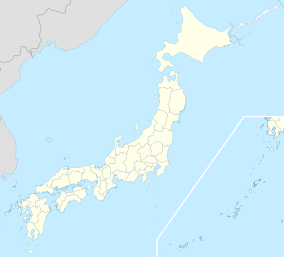
Map of Japan | |
| Location | Fukushima Prefecture and Niigata Prefecture, Japan |
| Coordinates | 37°09′29″N 139°04′48″E / 37.158°N 139.08°E[1] |
| Area | 86,129 ha (212,830 acres) |
| Established | 15 May 1973 |
Echigo Sanzan-Tadami Quasi-National Park (越後三山只見国定公園) is a Quasi-National Park in Fukushima Prefecture and Niigata Prefecture, Japan. Designated on 15 May 1973, it has an area of 86,129 ha (212,830 acres).[2][3]
See also
[edit]Wikimedia Commons has media related to Echigosanzan-Tadami Quasi-National Park.
References
[edit]- ^ "Echigo - Sanzan - Tadami Quasi National Park". protectedplanet.net.
- ^ "List of Quasi-National Parks". Ministry of the Environment. Retrieved 27 April 2011.
- ^ "越後三山只見国定公園". National Parks Association of Japan. Archived from the original on 17 July 2011. Retrieved 27 April 2011.


