Gatuna
Appearance
Gatuna | |
|---|---|
Settlement | |
| Coordinates: 1°26′00″S 30°00′55″E / 1.43333°S 30.01518°E | |
| Country | |
| Province | Northern Province |
| District | Gicumbi District |
| Sector | Cyumba Sector |
| Elevation | 5,970 ft (1,820 m) |
| Climate | Cwb |
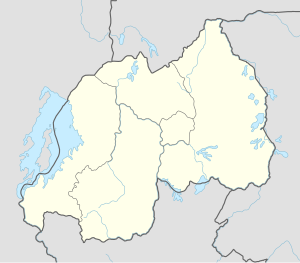
Gatuna is a small settlement in Cyumba Sector in northern Rwanda. It is located at the northern border adjacent to the town of Katuna, in neighboring Uganda.
Overview
[edit]Gatuna is the busiest border crossing in Rwanda. It handles most of Rwanda's imports and exports, since most Rwandan imports and exports via the coast pass through Uganda. The border at Gatuna and Katuna is open 24 hours a day.[1][2]
Location
[edit]Gatuna is located in Gicumbi District, Northern Province, at the border with the Republic of Uganda. Its location is about 80 kilometres (50 mi), by road, north of Kigali, Rwanda's capital and largest city.[3]
Points of interest
[edit]The following points of interest lie within the settlements limits or close to the edges of the settlement:
- Offices of Gatuna Town Council
- Gatuna Central Market
- The International Border Crossing between Rwanda and Uganda - The border crossing is open 24 hours daily.[4]
- A branch of the Bank of Kigali
See also
[edit]References
[edit]- ^ Khen, Travor (30 July 2012). "Curbing Illicit Trade". The Independent (Uganda). Archived from the original on 19 April 2014. Retrieved 19 April 2014.
- ^ "East Africa: Rwanda-Uganda Border to Open 24-7". East African Business Week (Kampala)via AllAfrica.com. 15 November 2009. Retrieved 19 April 2014.
- ^ "Map Showing Kigali And Gatuna With Distance Marker". Globefeed.com. Retrieved 19 April 2014.
- ^ Nakaweesi, Dorothy (24 March 2010). "Uganda-Rwanda Border Open 24 Hours". Daily Monitor via AllAfrica.com. Retrieved 19 April 2014.

