Gregoire Lake Estates
Gregoire Lake Estates | |
|---|---|
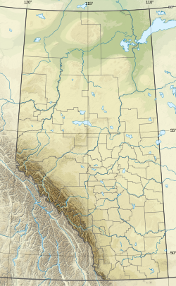
| Coordinates: 56°26′40″N 111°10′48″W / 56.44444°N 111.18000°W | |
| Country | Canada |
| Province | Alberta |
| Region | Northern Alberta |
| Census division | 16 |
| Municipal district | Regional Municipality of Wood Buffalo |
| Government | |
| • Type | Unincorporated |
| • Governing body | Regional Municipality of Wood Buffalo Council |
| Area (2021)[1] | |
| • Land | 0.41 km2 (0.16 sq mi) |
| Population (2021)[1] | |
• Total | 138 |
| • Density | 340.7/km2 (882/sq mi) |
| Time zone | UTC−07:00 (MST) |
| • Summer (DST) | UTC−06:00 (MDT) |
| Area code(s) | 780, 587, 825 |
Gregoire Lake Estates is a hamlet in northern Alberta, Canada within the Regional Municipality (RM) of Wood Buffalo.[2] It is located on Highway 881, approximately 30 kilometres (19 mi) southeast of Fort McMurray.
History
[edit]On May 4, 2016, the hamlet was ordered to be evacuated due to the rapid spread of the 2016 Fort McMurray wildfire.[3]
Demographics
[edit]In the 2021 Census of Population conducted by Statistics Canada, Gregoire Lake Estates had a population of 138 living in 52 of its 67 total private dwellings, a change of -16.4% from its 2016 population of 165. With a land area of 0.41 km2 (0.16 sq mi), it had a population density of 336.6/km2 (871.8/sq mi) in 2021.[1]
The population of Gregoire Lake Estates according to the 2018 municipal census conducted by the Regional Municipality of Wood Buffalo is 204,[4] a decrease from its 2012 municipal census population count of 275.[5]
As a designated place in the 2016 Census of Population conducted by Statistics Canada, Gregoire Lake Estates had a population of 165 living in 62 of its 81 total private dwellings, a change of -12.2% from its 2011 population of 188. With a land area of 0.48 km2 (0.19 sq mi), it had a population density of 343.8/km2 (890.3/sq mi) in 2016.[6]
See also
[edit]References
[edit]- ^ a b c "Population and dwelling counts: Canada and designated places". Statistics Canada. February 9, 2022. Retrieved February 10, 2022.
- ^ "Specialized and Rural Municipalities and Their Communities" (PDF). Alberta Municipal Affairs. June 3, 2024. Retrieved June 14, 2024.
- ^ "Municipality Announces Mandatory Evacuations for Anzac, Gregoire Lake Estates and Fort McMurray First Nation". Regional Municipality of Wood Buffalo. May 4, 2016. Archived from the original on November 16, 2018. Retrieved May 8, 2016.
- ^ "census2018 Municipal Census Report" (PDF). Regional Municipality of Wood Buffalo. Archived from the original (PDF) on September 10, 2020. Retrieved September 25, 2021.
- ^ "Municipal Census 2012: Count Yourself In!" (PDF). Regional Municipality of Wood Buffalo. p. 24. Archived from the original (PDF) on March 26, 2013. Retrieved January 26, 2013.
- ^ "Population and dwelling counts, for Canada, provinces and territories, and designated places, 2016 and 2011 censuses – 100% data (Alberta)". Statistics Canada. February 8, 2017. Retrieved February 13, 2017.


