Hårlev
Hårlev | |
|---|---|
Town | |
 | |
| Coordinates: 55°20′57″N 12°13′54″E / 55.34908°N 12.23162°E | |
| Country | Denmark |
| Region | Zealand (Sjælland) |
| Municipality | Stevns |
| Area | |
| • Urban | 1.95 km2 (0.75 sq mi) |
| Population (2024) | |
| • Urban | 2,914 |
| • Urban density | 1,500/km2 (3,900/sq mi) |
| Time zone | UTC+1 (CET) |
| • Summer (DST) | UTC+2 (CEST) |
| Postal code | DK-4652 Hårlev |
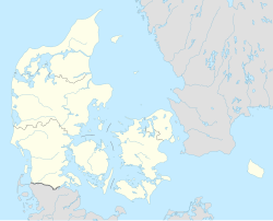
Hårlev is a railway town with a population of 2,914 (1 January 2024)[1] in Stevns Municipality on the southeastern part of the Danish island of Zealand about 12 kilometres south of Køge.
Overview
[edit]Hårlev was located in the former Bjæverskov Hundred (Danish: "Herred")
Until 1 January 2007 Hårlev was the municipal seat of the former Vallø Municipality.
Geography
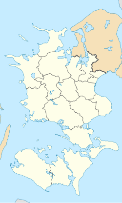
[edit]In spite of being a part of Stevns Municipality Hårlev is not geographical located on the Stevns Peninsula. The town is located just west of the so-called Tryggevælde River Valley (Danish: Tryggevælde Ådal) which marks the northern half of the boundary between the peninsula and the rest of Zealand. Actually it is not a real valley but a wide natural deepening along the banks of Tryggevælde River (Tryggevælde Å).[2]
Hårlev Church
[edit]
Hårlev Church was built between 1175-1275 and is the largest and best preserved of the younger chalk's churches in Stevns Municipality.[3]

The churchyard is the site of Hother's Mound. We know nothing about Hother, but because the mound has a flat top and is close to the church, it's probably from late antiquity - in Denmark early Viking Age - long before the church was built. It is said that the Tryggevælde Runestone originally stood here.[4]
Transportation
[edit]Hårlev is served by Hårlev railway station. The station is located where the railroad Østbanen from Køge divides into two lines, a southeastern line to Store Heddinge and Rødvig and a southern line to Faxe Ladeplads.
References
[edit]- ^ BY3: Population 1st January by urban areas, area and population density The Mobile Statbank from Statistics Denmark
- ^ Tryggevælde River Valley South Zealand & Møn
- ^ Hårlev Church South Zealand & Møn
- ^ Hårlev Church vikingeskibsmuseet.dk
External links
[edit]![]() Media related to Hårlev at Wikimedia Commons
Media related to Hårlev at Wikimedia Commons


