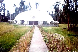
Huertas District
Appearance
Huertas | |
|---|---|
 Yogas | |
 | |
| Country | |
| Region | Junín |
| Province | Jauja |
| Founded | January 12, 1954 |
| Capital | Huertas |
| Government | |
| • Mayor | Domingo Felipe Aylas Valenzuela |
| Area | |
| • Total | 11.82 km2 (4.56 sq mi) |
| Elevation | 3,380 m (11,090 ft) |
| Population | |
| • Total | 2,082 |
| • Density | 180/km2 (460/sq mi) |
| Time zone | UTC-5 (PET) |
| UBIGEO | 120410 |
Huertas District is one of thirty-four districts of the province Jauja in Peru.[1]
References
[edit]- ^ (in Spanish) Instituto Nacional de Estadística e Informática. Banco de Información Distrital Archived 2008-04-23 at the Wayback Machine. Retrieved April 11, 2008.
