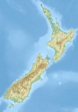
Irene River (New Zealand)
Appearance
| Irene River | |
|---|---|
 Route of the Irene River | |
| Location | |
| Country | New Zealand |
| Physical characteristics | |
| Source | |
| • location | Museum Range |
| • coordinates | 45°13′09″S 167°16′20″E / 45.2193°S 167.2723°E |
| Mouth | |
• location | Taiporoporo / Charles Sound |
• coordinates | 45°06′29″S 167°12′59″E / 45.1081°S 167.2165°E |
| Length | 25 kilometres (16 mi) |
| Basin features | |
| Progression | Irene River → Taiporoporo / Charles Sound → Tasman Sea |
| Tributaries | |
| • right | Marjorie Creek |
The Irene River is a river of New Zealand, flowing into Charles Sound, Fiordland.[1]
The river flows generally north from the Irene Pass, a saddle in the Museum Range of the Southern Alps. It follows a roughly semicircular path, initially flows northeast before turning north, northwest, and finally west before entering the northern (Emelius) arm of Charles Sound.[2]
See also
[edit]References
[edit]- ^ "Place name detail: Irene River". New Zealand Gazetteer. New Zealand Geographic Board. Retrieved 12 July 2009.
- ^ Dowling, P. (ed.) (2004) Reed New Zealand atlas. Auckland: Reed Publishing. Map 96.


