Karlskoga Airport
Appearance
Karlskoga Airport Karlskoga flygplats | |||||||||||
|---|---|---|---|---|---|---|---|---|---|---|---|
 | |||||||||||
| Summary | |||||||||||
| Serves | Karlskoga | ||||||||||
| Time zone | UTC+01:00 (CET) | ||||||||||
| • Summer (DST) | UTC+02:00 () | ||||||||||
| Elevation AMSL | 122 m / 400 ft | ||||||||||
| Coordinates | 59°18′N 14°30′E / 59.3°N 14.5°E | ||||||||||
| Website | karlskoga-airport | ||||||||||
| Map | |||||||||||
 | |||||||||||
| Runways | |||||||||||
| |||||||||||
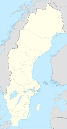
Karlskoga Airport (IATA: KSK, ICAO: ESKK), is an airport in the municipality of Karlskoga, Örebro, Sweden. Located 3 km (1.8 mi) northwest of Karlskoga.
History
[edit]It served as a regional airport and operated flights to Stockholm Arlanda Airport until 1991, in the 1980s to Bromma Airport, Oslo, and Copenhagen.[1] The airport stopped civilian passenger air traffic flights when arms manufacturer Bofors changed its flights to Örebro Airport. The airport hosts several events, such as air shows open to the public.[2][3]
Statistics
[edit]| Year | Passenger volume | Change | Domestic | Change | International | Change |
|---|---|---|---|---|---|---|
| 1984[4] | 20,150 | |||||
| 1985[4] | 21,400 |
See also
[edit]References
[edit]- ^ "Välkommen till EAA:s nationella huvud-fl yin" (PDF). EAA-nytt. 10 March 2016. Archived from the original (PDF) on 2016-03-10. Retrieved 21 December 2022.
- ^ Tuulik, Christoffer (18 June 2018). "Flygdramatik drog storpublik". Karlskoga Tidning Kuriren. Retrieved 21 December 2022.
- ^ "Jet Power Meeting Jetmodellflyg på Karlskoga flygplats". Möckelnföreningarna. Retrieved 21 December 2022.
- ^ a b Karlskoga bergslag (in Swedish). Karlskoga bergslags hembygdsförening. 1986.
External links
[edit] Media related to Karlskoga flygplats at Wikimedia Commons


