Keo Lôm
Appearance
Keo Lôm | |
|---|---|
Commune and village | |
| Coordinates: 21°17′N 103°11′E / 21.283°N 103.183°E | |
| Country | |
| Province | Điện Biên |
| District | Điện Biên Đông |
| Time zone | UTC+07:00 (Indochina Time) |
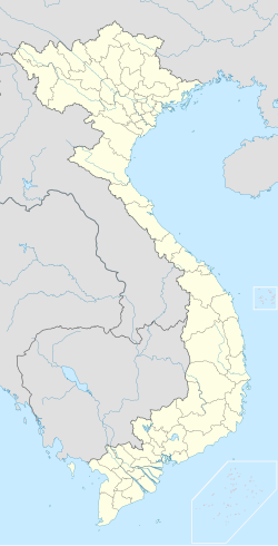
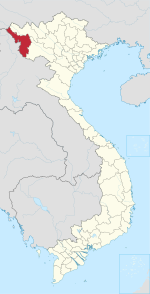
Keo Lôm is a commune (xã) and village of the Điện Biên Đông District of Điện Biên Province, northwestern Vietnam.[1] The village is known as Ban Keo Lôm and lies to the southwest of the town of Điện Biên Đông. It is accessible via National Route 130 and then windy hillside roads in a notable mountain pass area.
References
[edit]- ^ Vietnam. Tổng cục thống kê (2004). Danh mục các đơn vị hành chính Việt Nam, 2004: ban hành theo QĐ số 124/2004/QĐ-TTg ngày 8/7/2004 của Thủ tướng Chính phủ. Nhà xuất bản Thống kê. p. 57. Retrieved 11 October 2011.


