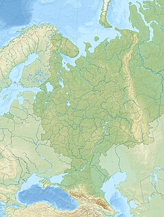
Kura (Russia)
Appearance
| Kura | |
|---|---|
| Native name | Кура (Russian) |
| Location | |
| Country | Russia |
| Physical characteristics | |
| Source | |
| • location | North Caucasus |
| Mouth | |
• location | Nogai Steppe |
| Length | 150 km (93 mi) |
 | |
The Kura (Russian: Кура) is a river in Stavropol Krai, Russia. The river is approximately 150 km long.[1] It flows from North Caucasus and ends in the Nogai Steppe where it drains into the ground. Novopavlovsk, a town of 23,235 founded in 1777, is located on the left bank of the river.
References
[edit]- ^ P. Magarita. Fishing in the Stavropol's Kura river.
44°02′06″N 44°49′59″E / 44.0350°N 44.8331°E


