Little River (Merrimack River tributary)
Tools
Actions
General
Print/export
In other projects
Appearance
From Wikipedia, the free encyclopedia
(Redirected from Little River (Merrimack River))
River in Massachusetts, United States
| Little River | |
|---|---|
| Location | |
| Country | United States |
| States | New Hampshire, Massachusetts |
| Counties | Rockingham, NH, Essex, MA |
| Towns | Kingston, NH, Plaistow, NH, Haverhill, MA |
| Physical characteristics | |
| Source | |
| • location | Kingston, NH |
| • coordinates | 42°52′37″N 71°5′20″W / 42.87694°N 71.08889°W / 42.87694; -71.08889 |
| • elevation | 130 ft (40 m) |
| Mouth | Merrimack River |
• location | Haverhill, MA |
• coordinates | 42°46′21″N 71°4′58″W / 42.77250°N 71.08278°W / 42.77250; -71.08278 |
• elevation | 0 ft (0 m) |
| Length | 12.9 mi (20.8 km) |
| Basin features | |
| Tributaries | |
| • left | Seaver Brook, Snows Brook |
| • right | Kelly Brook, Bryant Brook, Foote Brook, Fishin Brook |
The Little River is a 12.9-mile-long (20.8 km) river in New Hampshire and Massachusetts in the United States. It is a tributary of the Merrimack River, part of the Gulf of Maine watershed.
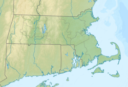
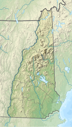
The Little River rises in Kingston, New Hampshire, flows south through Plaistow, and enters the city of Haverhill, Massachusetts, where it joins the Merrimack River. Most of the Little River's course is marked by suburban and urban development.[1]
See also
[edit]References
[edit]| Atlantic Ocean |
| ||||||||
|---|---|---|---|---|---|---|---|---|---|
| Gulf of Maine |
| ||||||||
| Long Island Sound |
| ||||||||
| Narragansett Bay |
| ||||||||
| Upper New York Bay |
| ||||||||
| Gulf of Maine |
| ||||||||||
|---|---|---|---|---|---|---|---|---|---|---|---|
| Long Island Sound |
| ||||||||||
This Essex County, Massachusetts geography–related article is a stub. You can help Wikipedia by expanding it. |
This article related to a river in Massachusetts is a stub. You can help Wikipedia by expanding it. |
This article related to a river in New Hampshire is a stub. You can help Wikipedia by expanding it. |


