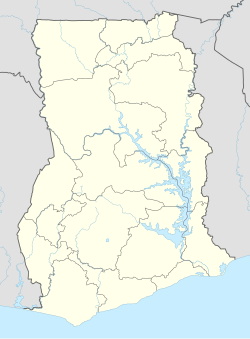
Mampong Municipal District
Appearance
Mampong Municipal Assembly | |
|---|---|
Municipal District | |
 Districts of Ashanti Region | |
Location of Mampong Municipal District within Ashanti | |
| Coordinates: 7°4′N 1°24′W / 7.067°N 1.400°W | |
| Country | |
| Region | |
| Capital | Mampong |
| Government | |
| • Municipal Chief Executive | Thomas Appiah-Kubi |
| Area | |
• Total | 2,345 km2 (905 sq mi) |
| Population (2021 Census) | |
• Total | 116,632[1] |
| Time zone | UTC+0 (GMT) |
| Website | http://mampongmunicipalassembly.com |
Mampong Municipal Assembly is one of the forty-three districts in Ashanti Region, Ghana. Originally it was formerly part of the then-larger Sekyere West District in 1988, which was created from the former Sekyere District Council. However on 1 November 2007, the eastern part of the district was split off to create Sekyere Central District; while the remaining portion has since then been officially renamed as Mampong Municipal District, which it was elevated to municipal district assembly status on that same year. The municipality is located in the northern part of Ashanti Region and has Mampong as its capital town.
Cities and towns
[edit]Sources
[edit]- "Districts of Ghana". Statoids.
- GhanaDistricts.com


