Podgrađe, Vukovar-Syrmia County
Appearance
Podgrađe | |
|---|---|
 | |
 | |
| Coordinates: 45°07′N 19°02′E / 45.11°N 19.03°E | |
| Country | |
| Region | Syrmia (Spačva basin) |
| County | |
| Municipality | Nijemci |
| Area | |
• Total | 27.0 km2 (10.4 sq mi) |
| Population (2021)[2] | |
• Total | 269 |
| • Density | 10.0/km2 (26/sq mi) |
| Time zone | UTC+1 (CET) |
| • Summer (DST) | UTC+2 (CEST) |
| Postal code | 32245 Nijemci |
This article relies largely or entirely on a single source. (July 2022) |
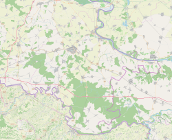
Podgrađe (Hungarian: Váralja) is a village in Syrmia in easternmost part of Croatia along the state border with Serbia. It is administratively part of the Nijemci Municipality, the largest municipality by territory in the county. The population of the village at the time of 2011 census was 371.
References
[edit]- ^ Register of spatial units of the State Geodetic Administration of the Republic of Croatia. Wikidata Q119585703.
- ^ "Population by Age and Sex, by Settlements" (xlsx). Census of Population, Households and Dwellings in 2021. Zagreb: Croatian Bureau of Statistics. 2022.


