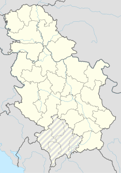
Radmanovo
Appearance
Radmanovo
Радманово | |
|---|---|
Village | |
| Coordinates: 43°19′N 20°55′E / 43.317°N 20.917°E | |
| Country | |
| District | Rasina District |
| Municipality | Brus |
| Area | |
| • Total | 7.26 km2 (2.80 sq mi) |
| Elevation | 1,161 m (3,809 ft) |
| Population (2011)[2] | |
| • Total | 122 |
| • Density | 17/km2 (44/sq mi) |
| Time zone | UTC+1 (CET) |
| • Summer (DST) | UTC+2 (CEST) |
Radmanovo (Serbian Cyrillic: Радманово) is a village located in the municipality of Brus, Serbia. According to the 2011 census, the village has a population of 122 inhabitants.
References
[edit]- ^ "Насеља општине Брус" (PDF). stat.gov.rs (in Serbian). Statistical Office of Serbia. Retrieved 28 December 2019.
- ^ "2011 Census of Population, Households and Dwellings in the Republic of Serbia: Comparative Overview of the Number of Population in 1948, 1953, 1961, 1971, 1981, 1991, 2002 and 2011, Data by settlements" (PDF). Statistical Office of Republic Of Serbia, Belgrade. 2014. ISBN 978-86-6161-109-4. Retrieved 2014-06-27.

