Rosenkopf
Appearance
This article needs additional citations for verification. (September 2018) |
Rosenkopf | |
|---|---|
| Coordinates: 49°20′41″N 7°25′58″E / 49.34472°N 7.43278°E | |
| Country | Germany |
| State | Rhineland-Palatinate |
| District | Südwestpfalz |
| Municipal assoc. | Zweibrücken-Land |
| Government | |
| • Mayor (2019–24) | Christian Plagemann[1] |
| Area | |
| • Total | 2.47 km2 (0.95 sq mi) |
| Elevation | 375 m (1,230 ft) |
| Population (2022-12-31)[2] | |
| • Total | 371 |
| • Density | 150/km2 (390/sq mi) |
| Time zone | UTC+01:00 (CET) |
| • Summer (DST) | UTC+02:00 (CEST) |
| Postal codes | 66894 |
| Dialling codes | 06372 |
| Vehicle registration | PS |
| Website | www.vgzwland.de |
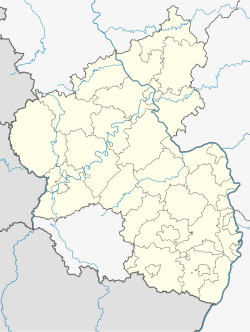
Rosenkopf is a municipality in Südwestpfalz district, in Rhineland-Palatinate, western Germany.
On 12 June 2011 a document surfaced that most likely points to Rosenkopf as the first German town to grant Adolf Hitler honorary citizenship (22 July 1932), not Bad Doberan, which had been generally confirmed as the town with that distinction.
References
[edit]- ^ Direktwahlen 2019, Landkreis Südwestpfalz, Landeswahlleiter Rheinland-Pfalz, accessed 9 August 2021.
- ^ "Bevölkerungsstand 2022, Kreise, Gemeinden, Verbandsgemeinden" (PDF) (in German). Statistisches Landesamt Rheinland-Pfalz. 2023.


