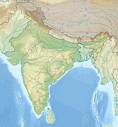
Sher River
Appearance
| Sher River Sher | |
|---|---|
| Location | |
| Country | |
| State | Madhya Pradesh |
| Tributary | Umar river, Kanera River |
| Physical characteristics | |
| Source | Satpura Range |
| • location | Patan, Seoni district |
| Mouth | Narmada River |
• location | Sangon Ghat Narsinghpur District |
• coordinates | 23°05′N 79°01′E / 23.09°N 79.01°E |
| Length | 129 km |
| Basin size | 2,901 sq. km. |
The Sher River is a tributary of the Narmada River located in Seoni district and Narsinghpur district[1] of Madhya Pradesh, India.[2]
See also
[edit]References
[edit]- ^ "Master Narmada River with Map – UPSC Colorfull notes". 2021-05-29. Retrieved 2024-02-17.
- ^ Deshmukh, Dhananjay Suresh; Chaube, Umesh Chandra; Tignath, Sanjay; Tripathi, Sangharsh Kumar (2010-01-01). "Morphological analysis of Sher River basin using GIS for identification of erosion-prone areas". Ecohydrology & Hydrobiology. Invited contributions from the International Symposium Ecohydrology for water ecosystems and society in Ethiopia Addis Ababa, Ethiopia, 18–20 November 2009. 10 (2): 307–313. doi:10.2478/v10104-011-0025-4. ISSN 1642-3593.

