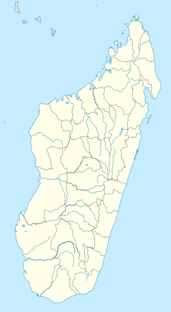
Taolagnaro (district)
Appearance
Fort-Dauphin district
Taolagnaro district, Tolagnaro | |
|---|---|
 | |
| Coordinates: 25°01′57″S 46°59′00″E / 25.03250°S 46.98333°E[1] | |
| Country | Madagascar |
| Region | Anosy |
| Elevation | 27 m (89 ft) |
| Time zone | East Africa Time (GMT+3) |
| Postal code | 614 |
The district of Taolagnaro (or: Fort Dauphin district) is a district of Anosy in Madagascar.[2][3]
Communes
[edit]The district is further divided into 24 communes:
- Ambatoabo
- Ampasimena
- Ampasy Nahampoa
- Analamary
- Analapatsy
- Andranombory
- Ankaramena
- Bevoay
- Enakara-Haut
- Enaniliha
- Fenoevo
- Iabakoho
- Ifarantsa
- Isaka-Ivondro
- Mahatalaky
- Manambaro
- Manantenina
- Mandiso
- Mandromodromotra
- Ranomafana
- Ranopiso
- Sarasambo
- Soanierana
- Taolanaro
Nature
[edit]- Lavasoa-Ambatotsirongorongo Mountains, 30 km west of Taolanaro (Ranopiso, Ankaramena, Sarasambo)[4]
- Sainte Luce Reserve
- Andohahela National Park
- Tsitongambarika forest in Ampasy Nahampoa.
Roads
[edit]- the National Road 12a, from Taolanaro to Vangaindrano.
- the National Road 13, from Taolanaro to Ambovombe and Ihosy.
Airport
[edit]Seaport
[edit]References
[edit]- ^ Tolanaro in Geonames.org (cc-by)
- ^ REPOBLIKAN’I MADAGASIKARA:Tanindrazana – Fahafahana – Fandrosoana (PDF). MINISTERE DE L’AGRICULTURE, DE L’ELEVAGE ET DE LA PECHE. October 2007. pp. 42–44.
{{cite book}}: CS1 maint: year (link) - ^ "Madagascar: Administrative Division". citypopulation. Retrieved 10 June 2018.
- ^ Ambatotsirongorongo Forest project


