Toponica (Žitorađa)
Appearance
Toponica
Топоница (Serbian) | |
|---|---|
Village | |
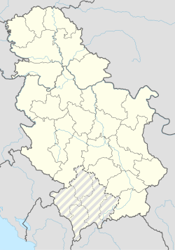
| Coordinates: 43°08′52″N 21°41′18″E / 43.14778°N 21.68833°E | |
| Country | |
| District | Toplica District |
| Municipality | Žitorađa |
| Population (2002) | |
| • Total | 329 |
| Time zone | UTC+1 (CET) |
| • Summer (DST) | UTC+2 (CEST) |
Toponica is a village in the municipality of Žitorađa, Serbia. According to the 2002 census, the village has a population of 329 people.[1]
History
[edit]Toponica (Albanian: Topanica) had 61 houses inhabited by Albanians before the Expulsion of the Albanians took place in 1877–1878 and 32 houses were inhabited by Serbians.[2] All Albanians left the Žitorađa region by force of the Serbian army and fled to modern-day Kosovo, which was back then the Vilayet of Kosovo of the Ottoman Empire.
References
[edit]- ^ Popis stanovništva, domaćinstava i Stanova 2002. Knjiga 1: Nacionalna ili etnička pripadnost po naseljima. Republika Srbija, Republički zavod za statistiku Beograd 2003. ISBN 86-84433-00-9
- ^ "The Expulsion of Albanians from the Sanjak of Nish" (PDF). State Agency of Kosovo Archives. p. 25.


