Tresticklan National Park
Appearance
| Tresticklan National Park | |
|---|---|
| Tresticklans nationalpark | |
 | |
 | |
| Location | Västra Götaland County, Sweden |
| Coordinates | 59°02′N 11°45′E / 59.033°N 11.750°E |
| Area | 28.97 km2 (11.19 sq mi)[1] |
| Established | 1996[1] |
| Governing body | Naturvårdsverket |
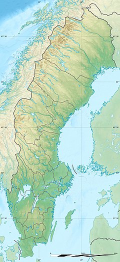
Tresticklan National Park (Swedish: Tresticklan nationalpark) is located in the municipality of Dals-Ed in northwestern Dalsland, Sweden, along the Norwegian border. "Trestickel" means "trident", possibly a reference to the shape of Lake Stora Tresticklan. This national park contains one of the few remaining areas of old-growth forest in southern Scandinavia. The park was established in 1996 and has an area of 28.97 km2 (11.19 sq mi). The park's highest point is the Orshöjden (276 m.a.sl).
See also
[edit]References
[edit]- ^ a b "Tresticklan National Park". Naturvårdsverket. Archived from the original on 2009-04-04. Retrieved 2009-02-26.
External links
[edit]Wikimedia Commons has media related to Tresticklan National Park.

