Tunnel Hill, Ohio
Appearance

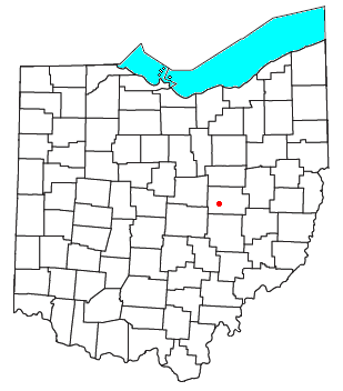
Tunnel Hill is an unincorporated community in central Bedford Township, Coshocton County, Ohio, United States.[1] It lies in the valley of the Little Wakatomika Creek a few miles south of Warsaw, along State Route 60 at its intersection with State Route 541.
History
[edit]Tunnel Hill had its start around 1873 when a railroad tunnel was completed near the site.[2] A post office was established at Tunnel Hill in 1873, and remained in operation until it was discontinued in 1955.[3][4]
References
[edit]- ^ U.S. Geological Survey Geographic Names Information System: Tunnel Hill, Ohio
- ^ "HISTORY OF TUNNEL HILL, OHIO". Walhonding Valley Historical Society. Retrieved December 7, 2015.
- ^ "Coshocton County". Jim Forte Postal History. Retrieved December 7, 2015.
- ^ Graham, Albert Adams (1881). History of Coshocton County, Ohio: Its Past and Present, 1740-1881. A. A. Graham. pp. 470.
coshocton county ohio history.
40°15′17″N 82°02′56″W / 40.25472°N 82.04889°W

