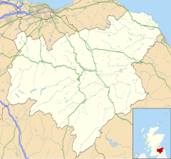
Wilton Dean
Appearance
Wilton Dean
| |
|---|---|
Location within the Scottish Borders | |
| OS grid reference | NT491147 |
| Council area | |
| Lieutenancy area | |
| Country | Scotland |
| Sovereign state | United Kingdom |
| Post town | HAWICK |
| Postcode district | TD9 |
| Dialling code | 01450 |
| Police | Scotland |
| Fire | Scottish |
| Ambulance | Scottish |
| UK Parliament | |
| Scottish Parliament | |
Wilton Dean is a village in the Scottish Borders area of Scotland, on the Cala Burn, and close to the River Teviot. Along with Stirches and Burnfoot, Scottish Borders, Wilton Dean is now often considered to be a suburb of Hawick which is situated very close to the village.
See also
[edit]External links
[edit]Wikimedia Commons has media related to Wilton Dean.
- RCAHMS record for Hawick, Wilton Dean, General
- Borders Family History Society: Wilton Dean
- Images of Old Hawick and Wilton Dean

