Thamaga
Apparence
| Thamaga | |

| |
| Administration | |
|---|---|
| Pays | |
| District | District de Kweneng |
| Sous-district | Kweneng East |
| Démographie | |
| Population | 21 471 hab. (2011) |
| Géographie | |
| Coordonnées | 24° 43′ 00″ sud, 25° 32′ 00″ est |
| Localisation | |
| modifier |
|
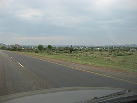
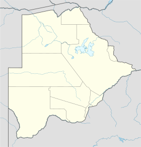
Thamaga est une ville de l'ouest du Botswana qui fait partie du district de Kweneng. Elle est située à une trentaine de kilomètres à l'ouest de Gaborone, la capitale.
Lors du recensement de 2011, Thamaga comptait 21 471 habitants[1].
Thamaga abrite un centre artisanal de poterie réputé, attenant à l'église catholique. Ce projet de développement rural a été lancé en 1974 à l'initiative de missionnaires[2].
Notes et références
[modifier | modifier le code]- (en) 2011 Botswana Population and Housing Census. Alphabetical Index of Villages [1]
- (fr) Marie Lory, Le Botswana, Karthala, Paris, 1995, p. 198 (ISBN 2-86537-529-3)
Voir aussi
[modifier | modifier le code]Bibliographie
[modifier | modifier le code]- (en) Lawrence H. Robbins, « Recent archaeological research in southeastern Botswana : the Thamaga Site », in Botswana notes and records, 18, 1986, p. 1-13


