Linghin
Apparence
| Linghin | |
|---|---|
 L' mérrie | |
| Poéyis | |
| Région | Heuts-d'Franche |
| Départémint | Pas-d'Calés |
| Arondichemint | Béthune |
| Canton | Aire-su-la-Lys |
| Code insee | 62517 |
| Code postal | 62120 |
| Maire | Xavier Courouble 2014-2020 |
| Intarconmeunalité | Conmeunité d’agglomérachon éd Béthune-Brouay, Artoés-Lys Romane |
| Jografie | |
| Coordonnées jografikes | |
| Altitudes | minimale : 36 maximale : 80 mouéyène : |
| Supérfichie | 3.63 km² (363 ha) |
| Démografie | |
| Gintilé | |
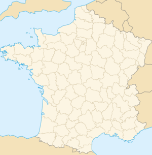
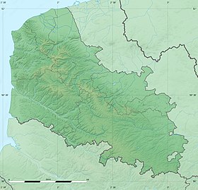
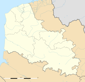
Linghin (in frinsé: Linghem) ch'est ène conmeune picarte, plachée dins ch' départémint dech Pas-d'Caleus pi dins l' région Heuts-d'Franche.
Aménistrachon
[éditer | modifier ech wikicode]| innées | Idintité | Étitchète | Qualitè | |
|---|---|---|---|---|
| marche 2001 | Xavier Courouble | |||
 |
 et pi din l'arrondichemint d'Béthune. |
Surpitchet
[éditer | modifier ech wikicode]- chés barbarins d' Linghin [1].
Nombe ed gins
[éditer | modifier ech wikicode]Chés monumints pi lius d'mémoére
[éditer | modifier ech wikicode]- L'église Saint-Vaast, (1541)
- Ch' meunumint à chés morts
- un calvoaire
-
Église Saint-Vaast
-
Ch' meunumint à chés morts
-
Calvoaire
Notes pi référinches
[éditer | modifier ech wikicode]- ↑ André Accart, Les sobriquets des habitants du Pas de Calais, Les éditions Nord Avril, (2006) (ISBN 2915800057)
Loïens intarnètes
[éditer | modifier ech wikicode]


