Angrogna
Aspetto
| Angrogna comune tagliàne | ||
|---|---|---|
 | ||
| ||
| State | ||
| Reggione | ||
| Provinge | ||
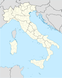
| Coordinate | 44°51′00″N 7°13′00″E | |
| Altitudine | 782 m s.l.m. | |
| Superficie | 38 km² | |
| Crestiàne | 777 | |
| Denzetà | 20 cr./km² | |
| Fraziune | Baussan, Martel, Pradeltorno, Serre | |
| Comune 'nzeccate | Bricherasio, Luserna San Giovanni, Perrero, Prali, Pramollo, Prarostino, San Germano Chisone, Torre Pellice, Villar Pellice | |
| CAP | 10060 | |
| Prefisse | 0121 | |
| Codece ISTAT | 1011 | |
| Cod. catastale | A295 | |
| Nome javetande | angrognini | |
| Patrone | San Lorenzo | |
| Sciurne festive | 10 agosto | |
| Site istituzionale | ||
Angrogna éte 'nu comune tagliáne de 777 crestiáne.
Categorije:
- Stub
- Prefisso telefonico locale uguale a Wikidata
- Codice ISTAT differente da Wikidata
- P18 lette da Uicchidate
- P94 differende sus Uicchidate
- P281 uguale sus Uicchidate
- P806 uguale sus Uicchidate
- P856 differende sus Uicchidate
- P2044 uguale sus Uicchidate
- P2046 differende sus Uicchidate
- Comune d'u Piemonte
- Comune d'a provinge de Torino
- Pàggene cu le mappe

