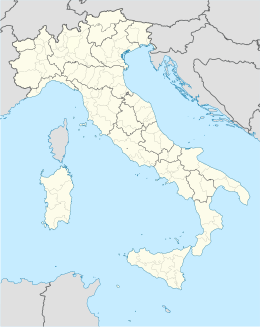
Gottolengo
Aspetto
| Gottolengo comune tagliàne | |||
|---|---|---|---|
 | |||
| |||
| State | |||
| Reggione | |||
| Provinge | |||
| Coordinate | 45°17′30″N 10°16′12″E | ||
| Altitudine | 53[1] m s.l.m. | ||
| Superficie | 29 km² | ||
| Crestiàne | 5 148 (01-01-07) | ||
| Denzetà | 167 cr./km² | ||
| Fraziune | Solaro, Solarino, Baldone, Remaglie, Segalana, Monticelle di sopra, Osteria | ||
| Comune 'nzeccate | Gambara, Ghedi, Isorella, Leno, Pavone del Mella, Pralboino | ||
| CAP | 25023 | ||
| Prefisse | 030 | ||
| Codece ISTAT | 017080 | ||
| Cod. catastale | E116 | ||
| Nome javetande | gottolenghesi | ||
| Patrone | San Pietro e Paolo | ||
| Sciurne festive | 29 giugno | ||
| Site istituzionale | |||
Gottolengo éte 'nu comune tagliáne de 5.090 crestiáne.
- ↑ Dati sull'altitudine, su kpromos.com. URL conzultate il 31-07-09.
Categorije:
- Stub
- Prefisso telefonico locale uguale a Wikidata
- Codice ISTAT uguale a Wikidata
- P41 lette da Uicchidate
- P94 differende sus Uicchidate
- P281 uguale sus Uicchidate
- P806 uguale sus Uicchidate
- P856 uguale sus Uicchidate
- P2044 differende sus Uicchidate
- P2046 differende sus Uicchidate
- Comune d'a Lombardia
- Comune d'a provinge de Brescia
- Pàggene cu le mappe


