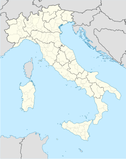
San Gregorio Magno
Aspetto
| San Gregorio Magno comune tagliàne | ||
|---|---|---|
 | ||
| ||
| State | ||
| Reggione | ||
| Provinge | ||
| Coordinate | 40°39′00″N 15°24′00″E | |
| Altitudine | 508 m s.l.m. | |
| Superficie | 49 km² | |
| Crestiàne | 4 505 (1 aprile 2009 [1]) | |
| Denzetà | 92,51 cr./km² | |
| Fraziune | Filette, Forluso, Lavanghe, Teglia | |
| Comune 'nzeccate | Buccino, Colliano, Muro Lucano (PZ), Ricigliano, Romagnano al Monte | |
| CAP | 84020 | |
| Prefisse | 0828 | |
| Codece ISTAT | 065120 | |
| Cod. catastale | H943 | |
| Nome javetande | sangregoriesi | |
| Patrone | San Gregorio Magno | |
| Sciurne festive | 3 settembre | |
| Site istituzionale | ||
San Gregorio Magno éte 'nu comune tagliáne de 4.616 crestiáne.
Note
[cange • cange 'a sorgende]
Categorije:
- Stub
- P625 uguale sus Uicchidate
- Prefisso telefonico locale uguale a Wikidata
- Codice ISTAT uguale a Wikidata
- P18 lette da Uicchidate
- P94 assende sus Uicchidate
- P281 uguale sus Uicchidate
- P806 uguale sus Uicchidate
- P856 differende sus Uicchidate
- P2044 differende sus Uicchidate
- P2046 differende sus Uicchidate
- Comune d'a Cambanie
- Comune d'a provinge de Salerno
- Pàggene cu le mappe

