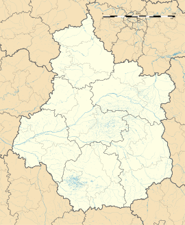
Abilly
Appearance
Abilly | |
|---|---|
 St. Martin Church | |
| Coordinates: 46°56′31″N 0°43′43″E / 46.9419°N 0.7286°E | |
| Country | France |
| Region | Centre-Val de Loire |
| Department | Indre-et-Loire |
| Arrondissement | Loches |
| Canton | Descartes |
| Intercommunality | Loches Sud Touraine |
| Government | |
| • Mayor (2020-2026) | Christophe Dujon |
| Area 1 | 30.27 km2 (11.69 sq mi) |
| Population (Jan. 2019)[1] | 1,149 |
| • Density | 38/km2 (98/sq mi) |
| Demonym(s) | Habillois, Habilloises |
| Time zone | UTC+01:00 (CET) |
| • Summer (DST) | UTC+02:00 (CEST) |
| INSEE/Postal code | 37001 /37160 |
| Elevation | 42–123 m (138–404 ft) |
| 1 French Land Register data, which excludes lakes, ponds, glaciers > 1 km2 (0.386 sq mi or 247 acres) and river estuaries. | |
Abilly is a commune in the Indre-et-Loire department and Centre-Val de Loire region in central France.
Transport
[change | change source]Road
[change | change source]The D750, D42, D53 and D358 roads pass through the Abilly commune.
Rail
[change | change source]Despite the fact that there is a railway line passing through the commune, there are no train stations.
The nearest train station is in Port-de-Piles.[2]
Population
[change | change source]| Year | Pop. | ±% |
|---|---|---|
| 2006 | 1,090 | — |
| 2007 | 1,088 | −0.2% |
| 2008 | 1,088 | +0.0% |
| 2009 | 1,104 | +1.5% |
| 2010 | 1,121 | +1.5% |
| 2011 | 1,138 | +1.5% |
| 2012 | 1,138 | +0.0% |
| 2013 | 1,127 | −1.0% |
| 2014 | 1,145 | +1.6% |
| 2015 | 1,148 | +0.3% |
| 2016 | 1,151 | +0.3% |
| 2017 | 1,151 | +0.0% |
References
[change | change source]- ↑ "Populations légales 2019". The National Institute of Statistics and Economic Studies. 29 December 2021.
- ↑ "TER Centre-Val de Loire - Horaires et informations pratiques au départ de la gare de Port-de-Piles". www.ter.sncf.com. Retrieved 2021-01-04.[permanent dead link]


