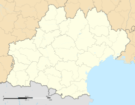
Albias
Appearance
Albias | |
|---|---|
| Coordinates: 44°05′27″N 1°27′01″E / 44.0908333333°N 1.45027777778°E | |
| Country | France |
| Region | Occitanie |
| Department | Tarn-et-Garonne |
| Arrondissement | Montauban |
| Canton | Nègrepelisse |
| Intercommunality | Terrasses et Vallée de l'Aveyron |
| Government | |
| • Mayor (2001-2008) | Christian Teyssières |
| Area 1 | 21.6 km2 (8.3 sq mi) |
| Population (1999) | 2,338 |
| • Density | 110/km2 (280/sq mi) |
| Time zone | UTC+01:00 (CET) |
| • Summer (DST) | UTC+02:00 (CEST) |
| INSEE/Postal code | 82002 /82350 |
| Elevation | 78–107 m (256–351 ft) (avg. 91 m or 299 ft) |
| 1 French Land Register data, which excludes lakes, ponds, glaciers > 1 km2 (0.386 sq mi or 247 acres) and river estuaries. | |
Albias is a commune in the Tarn-et-Garonne department in the Occitanie region in southern France. The inhabitants are called Albiassains. The town is 10 km north-east of Montauban. As of 1999, about 2,338 people lived in Albias.
Related pages
[change | change source]


