Mold, Flintshire
Appearance
Mold
| |
|---|---|
 Bethesda Chapel, Mold | |
| Location within Flintshire | |
| Population | 10,058 (2011 census) |
| OS grid reference | SJ237640 |
| Principal area | |
| Ceremonial county | |
| Country | Wales |
| Sovereign state | United Kingdom |
| Post town | MOLD |
| Postcode district | CH7 |
| Dialling code | 01352 |
| Police | North Wales |
| Fire | North Wales |
| Ambulance | Welsh |
| UK Parliament | |
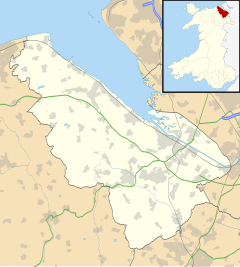
Mold (Welsh: Yr Wyddgrug) is a town and community in Flintshire, a county of Wales. It is in the preserved county of Clwyd. In 2011, it had a population of 10,058.
It is 14.4 miles (23.2 km) west of Chester by road, and 11.9 miles (19.2 km) north-west of Wrexham by road.
It is an old town and was first recorded in 1280.
Mold is the county town of Flintshire and was the county town of Clwyd from 1974 to 1996.
The town's Welsh name means "The Mound of the Tomb/Sepulchre".
Gallery
[change | change source]-
The Mold cape
-
Mold High Street
-
Clwyd Theatr Cymru, Mold


