Vallery
Appearance
From Simple English Wikipedia, the free encyclopedia
Vallery | |
|---|---|
 | |
| Coordinates: 48°14′30″N 3°02′52″E / 48.2417°N 3.0478°E / 48.2417; 3.0478 | |
| Country | France |
| Region | Bourgogne-Franche-Comté |
| Department | Yonne |
| Arrondissement | Sens |
| Canton | Chéroy |
| Area 1 | 12.43 km2 (4.80 sq mi) |
| Population (2006) | 498 |
| • Density | 40/km2 (100/sq mi) |
| Time zone | UTC+01:00 (CET) |
| • Summer (DST) | UTC+02:00 (CEST) |
| INSEE/Postal code | 89428 /89150 |
| Elevation | 109–164 m (358–538 ft) |
| 1 French Land Register data, which excludes lakes, ponds, glaciers > 1 km2 (0.386 sq mi or 247 acres) and river estuaries. | |
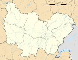
Vallery is a commune. It is found in the Yonne department in the center of France.
References
[change | change source]
Retrieved from "https://simple.wikipedia.org/w/index.php?title=Vallery&oldid=8159896"


