UNLIMITED
DIGITAL MAPPING AND APPS

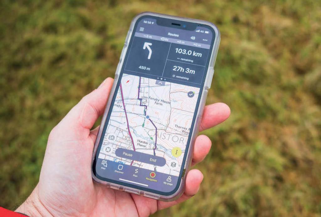
FOR MANY OF US, smartphones are here to stay in the hills – not only for capturing and sharing our experiences but also for helping us find our way. Modern smartphones are reliable, most are waterproof, and with a few simple tricks (such as activating Airplane Mode and carrying a backup power pack) battery life is more than good enough. But the hardware is only as good as the software you run on it, and this remains an area of fierce debate.
Digital mapping and navigation apps occupy various positions along a spectrum of use. Many people prefer to navigate with map and compass, and only want an app as a last-resort backup. Some like the convenience of route planning on an app but still prefer a paper map for hill use. Others go all-in with digital navigation, and the traditional nav kit remains in the pack as the backup system. For the sufficiently experienced, each of these approaches is valid and can be done safely; so the first question is to ask yourself what role you’d like a mapping app to play in your mountain adventures.
There are several advantages to using a digital mapping tool. Planning routes is often significantly quicker and easier, and will automatically calculate distance, total ascent and other data. You can zoom in and out on the map, and carry maps for the entire world in your pocket. Locations of interest can be saved as waypoints. Some apps enable you to show a huge amount of data on the screen at once, such as multiple planned routes (often colour-coded) and large sets of waypoints (such as all the Munros).
Google Maps will not cut it – as a minimum the app must offer detailed offline topographical mapping. Although several good options exist, for many years ViewRanger was commonly recommended as
You’re reading a preview, subscribe to read more.
Start your free 30 days

